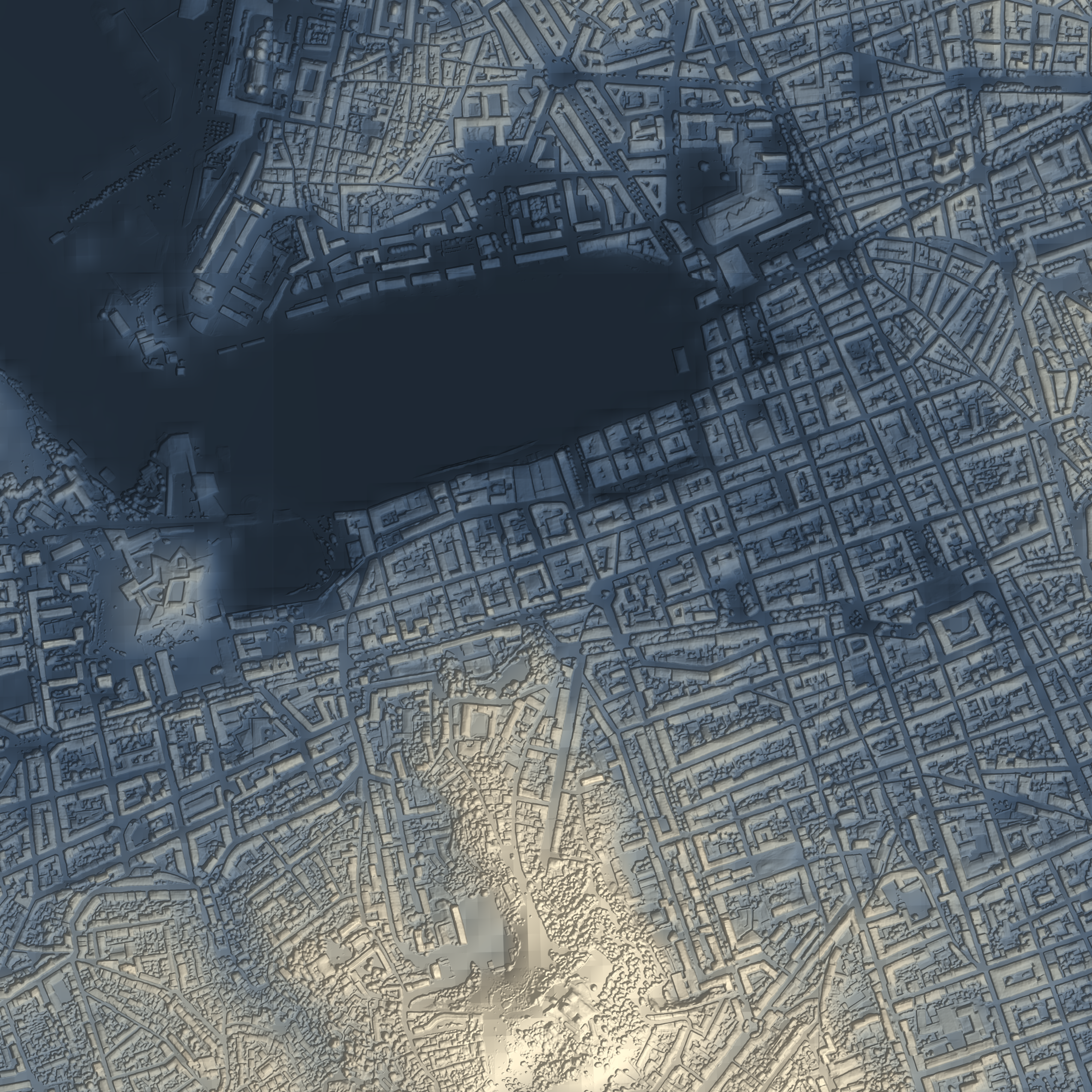
DSM
Digital Surface Model
Absolute elevation of the ground and everything on it — buildings, vegetation and structures — from a single image.

One aerial or satellite RGB image is all we need — no stereo pairs, no LiDAR, no second pass. CALHYPSO turns it into a high-resolution surface model, calibrated to real-world elevation.
Absolute elevation of the ground and everything on it — buildings, vegetation and structures — from a single image.
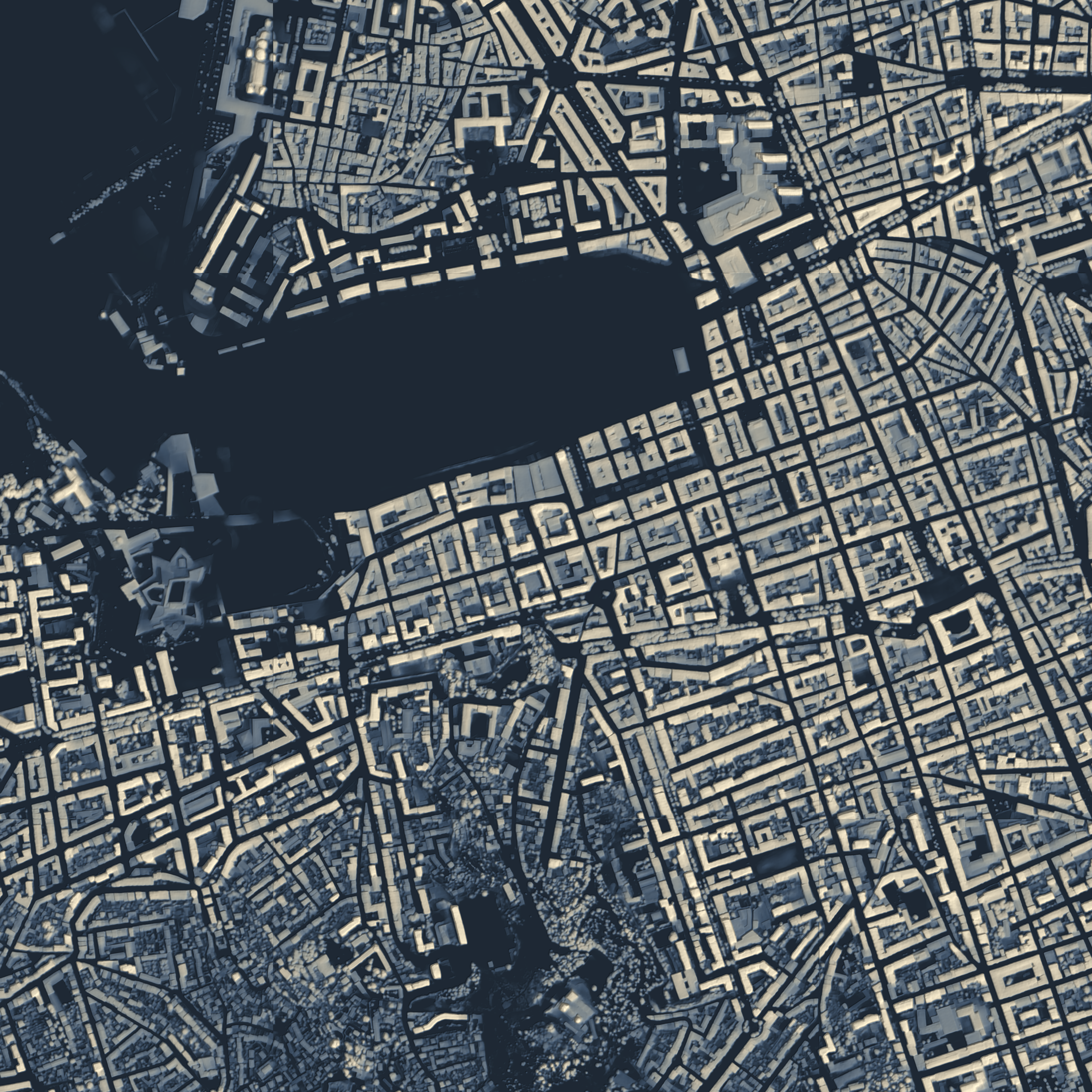
Object heights above ground, straight from the image — ideal for building height, canopy and volume analysis.
Global data, meet CALHYPSO.
Same coastline, a world of detail apart — drag from Copernicus' 30-metre global model to CALHYPSO's sub-metre DSM.

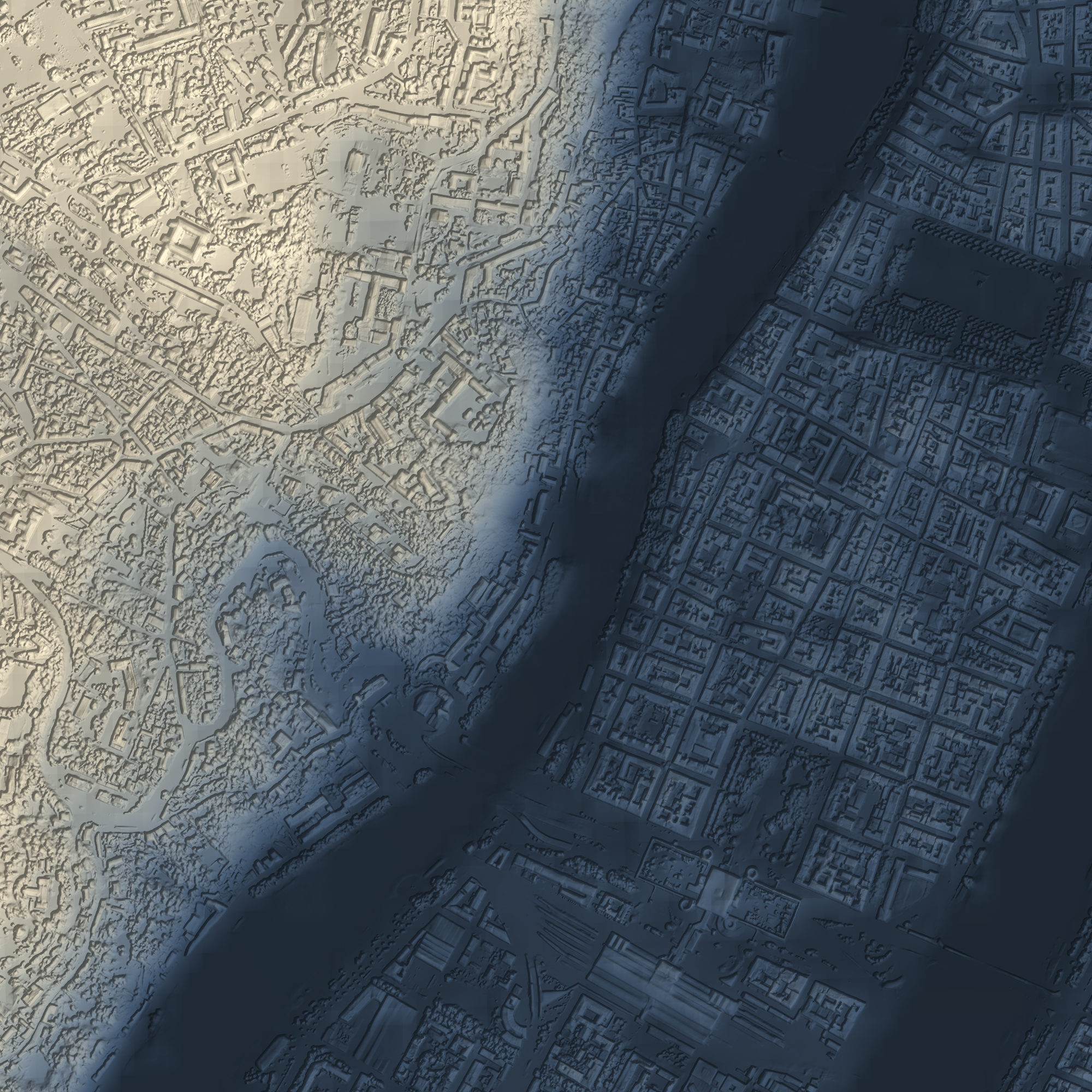
© DLR e.V. 2010-2014 and © Airbus Defence and Space GmbH 2014-2018 provided under COPERNICUS by the European Union and ESA; all rights reserved
Light trial · upload one RGB GeoTIFF at 0.5, 2 or 3 m · download its DSM
What surface models are good for.
A surface model turns the shape of the world into measurable data — and with CALHYPSO it only takes one image, available as soon as that image is captured. Here is where that matters.
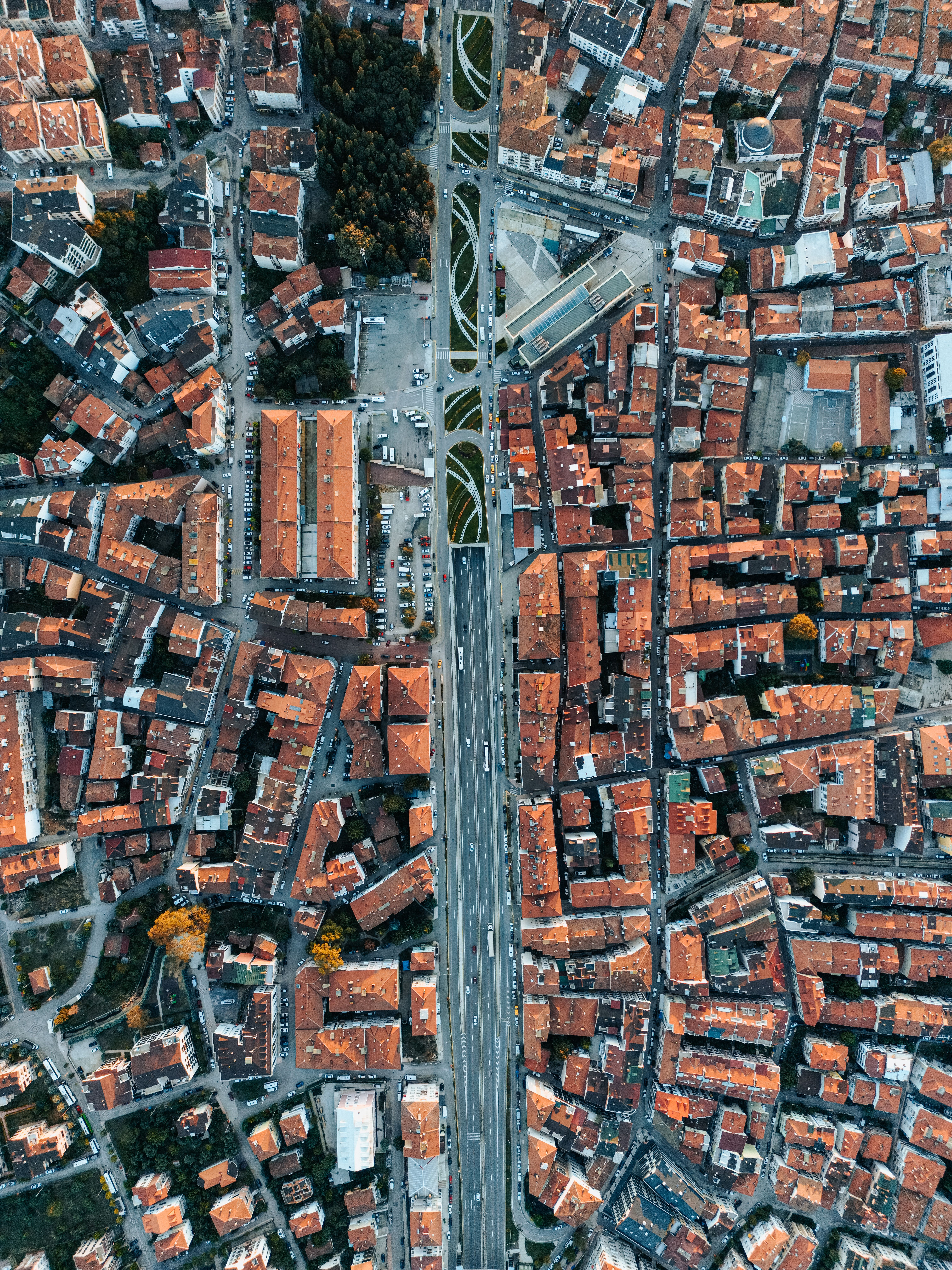
Surface models expose building heights, volumes and the 3-D fabric of a city. Planners can assess density, shadowing, view corridors, solar exposure and the visual impact of new developments before anything is built.
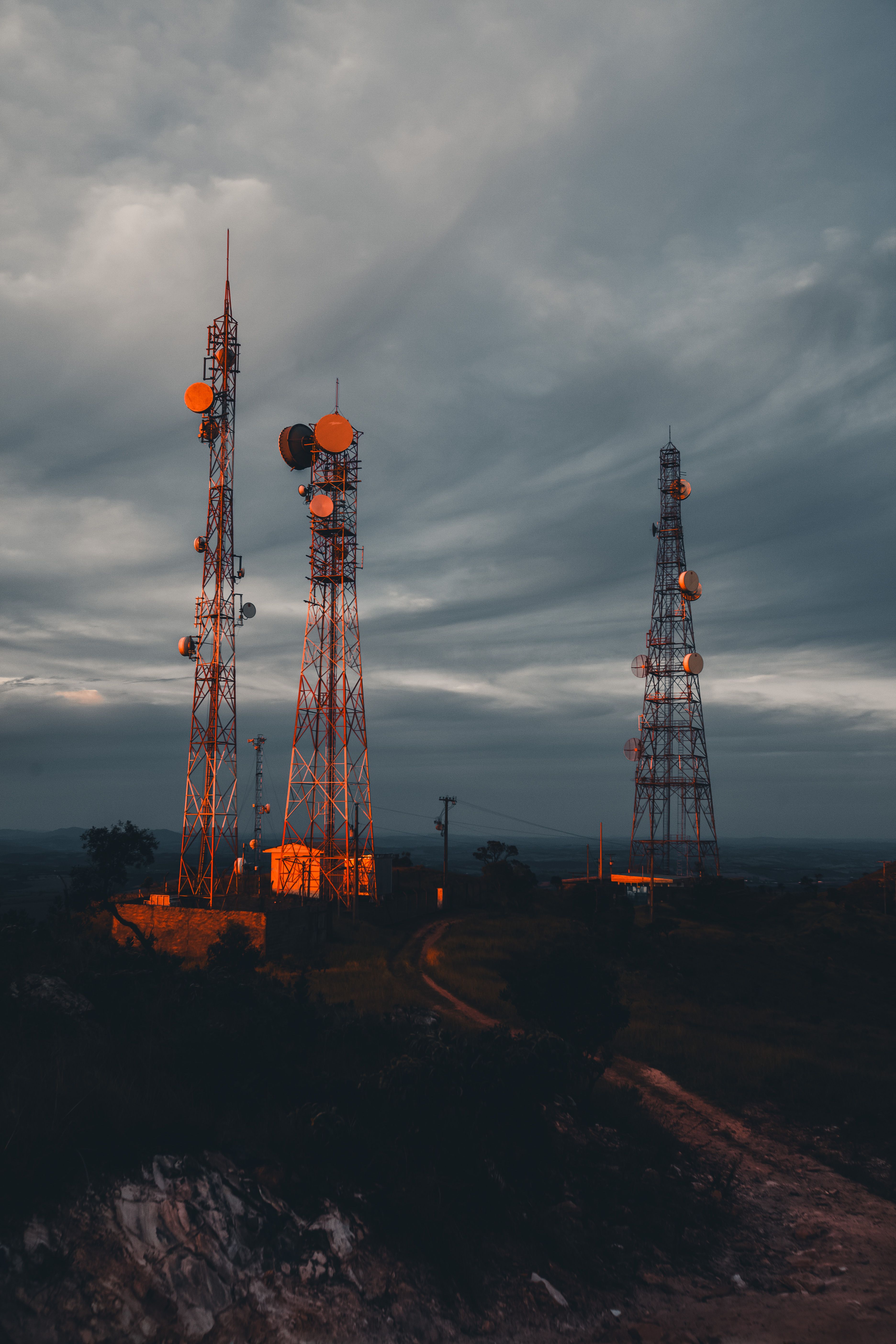
Coverage for antennas, 5G small cells and microwave links depends on what stands between transmitter and receiver. A DSM captures rooftops, masts and vegetation, so line-of-sight, interference and optimal tower placement can be modelled accurately.
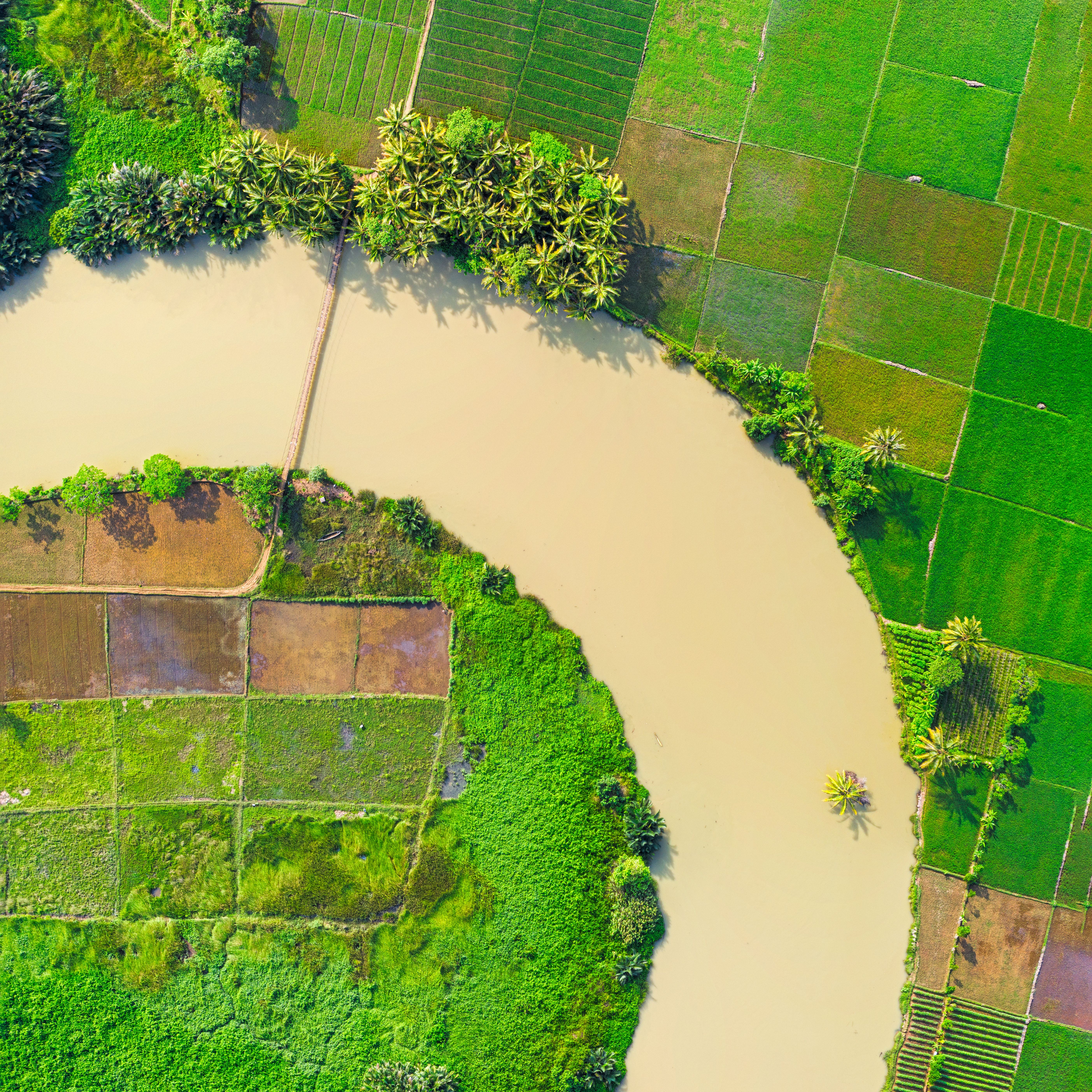
Repeat models over time to measure change in urban growth and canopy dynamics. Differencing two epochs turns elevation into a quantitative record of how a landscape is shifting.
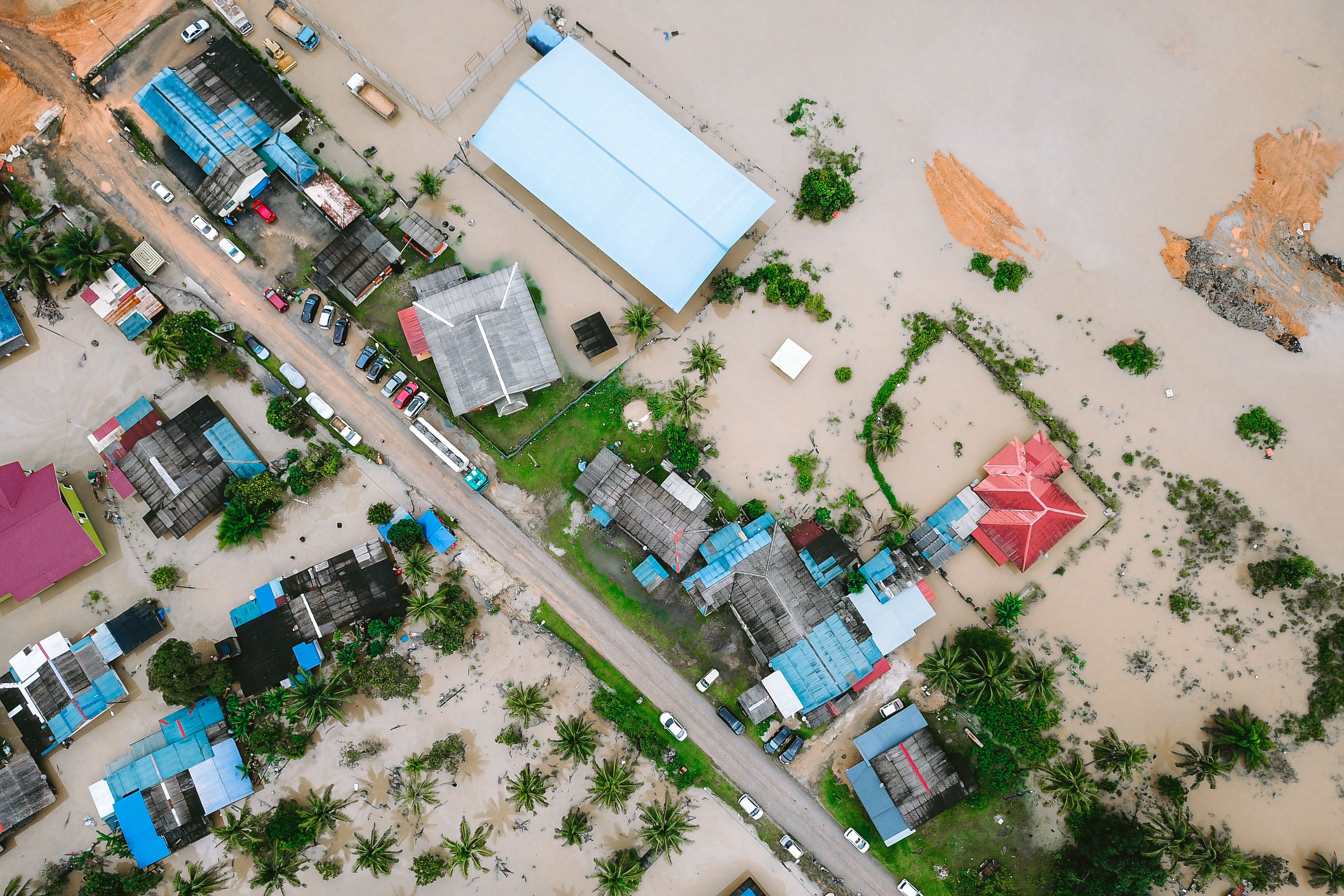
Water follows the surface. Elevation models drive flow accumulation, watershed delineation and flood-inundation modelling — showing where water collects, how it routes through streets and which assets sit in a flood's path.
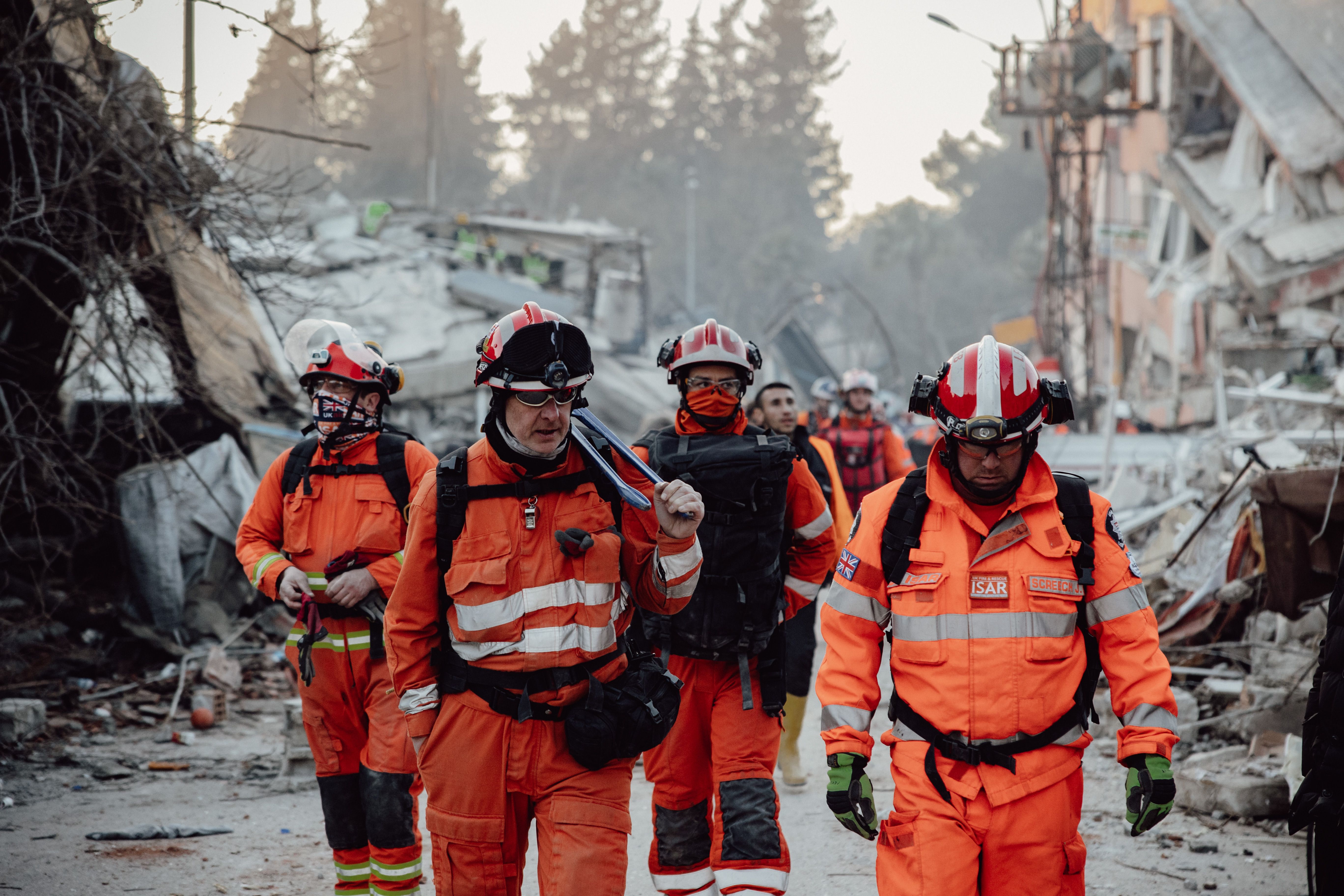
Before an event, elevation feeds landslide, wildfire and flood susceptibility maps. After one, a model from the very first post-event image — no waiting for a stereo pair — quantifies damage, debris volumes and structural change — helping responders prioritise and plan reconstruction.
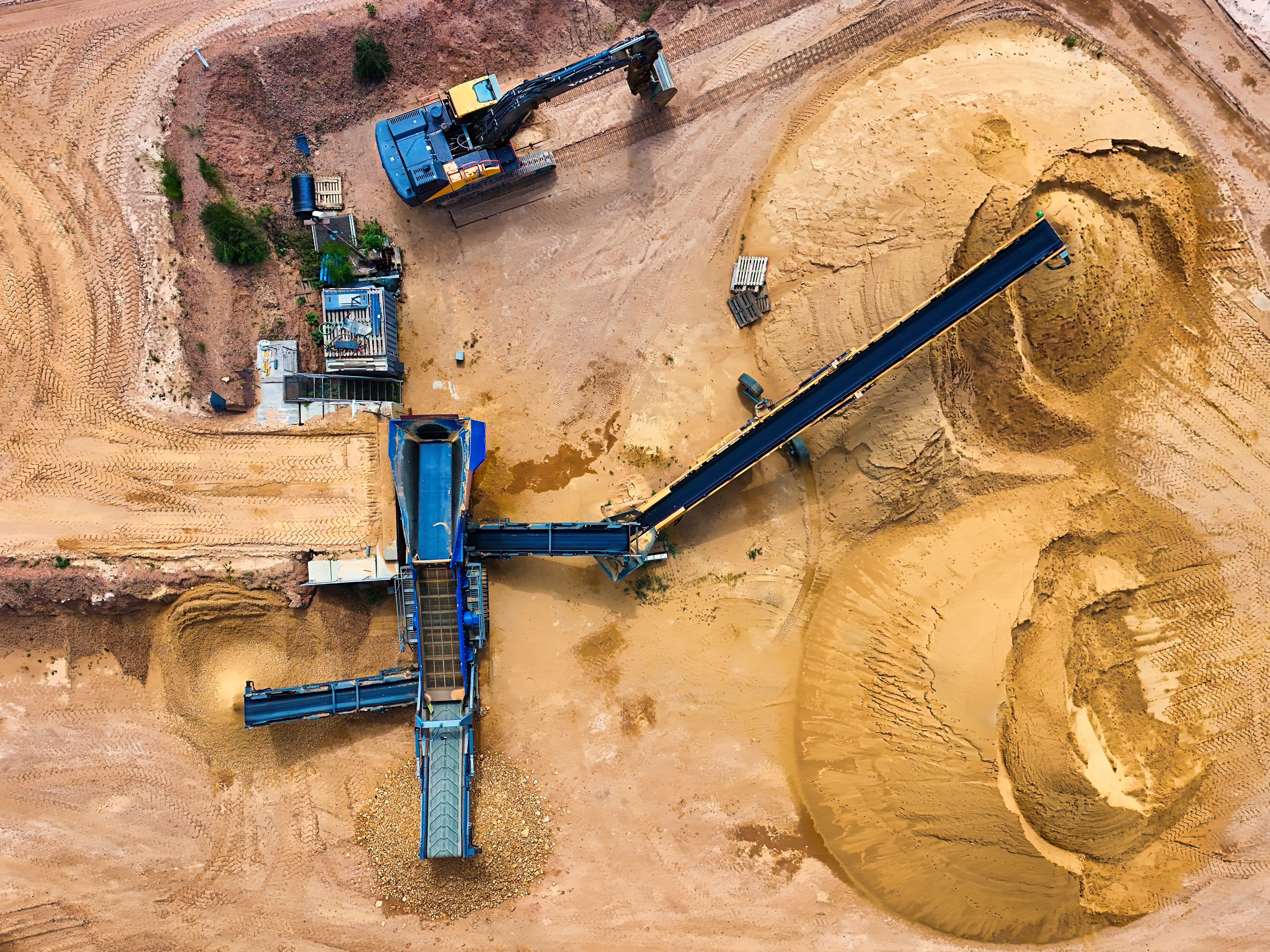
Track how stockpiles grow and shrink, supporting inventory, reconciliation and reporting without manual survey.
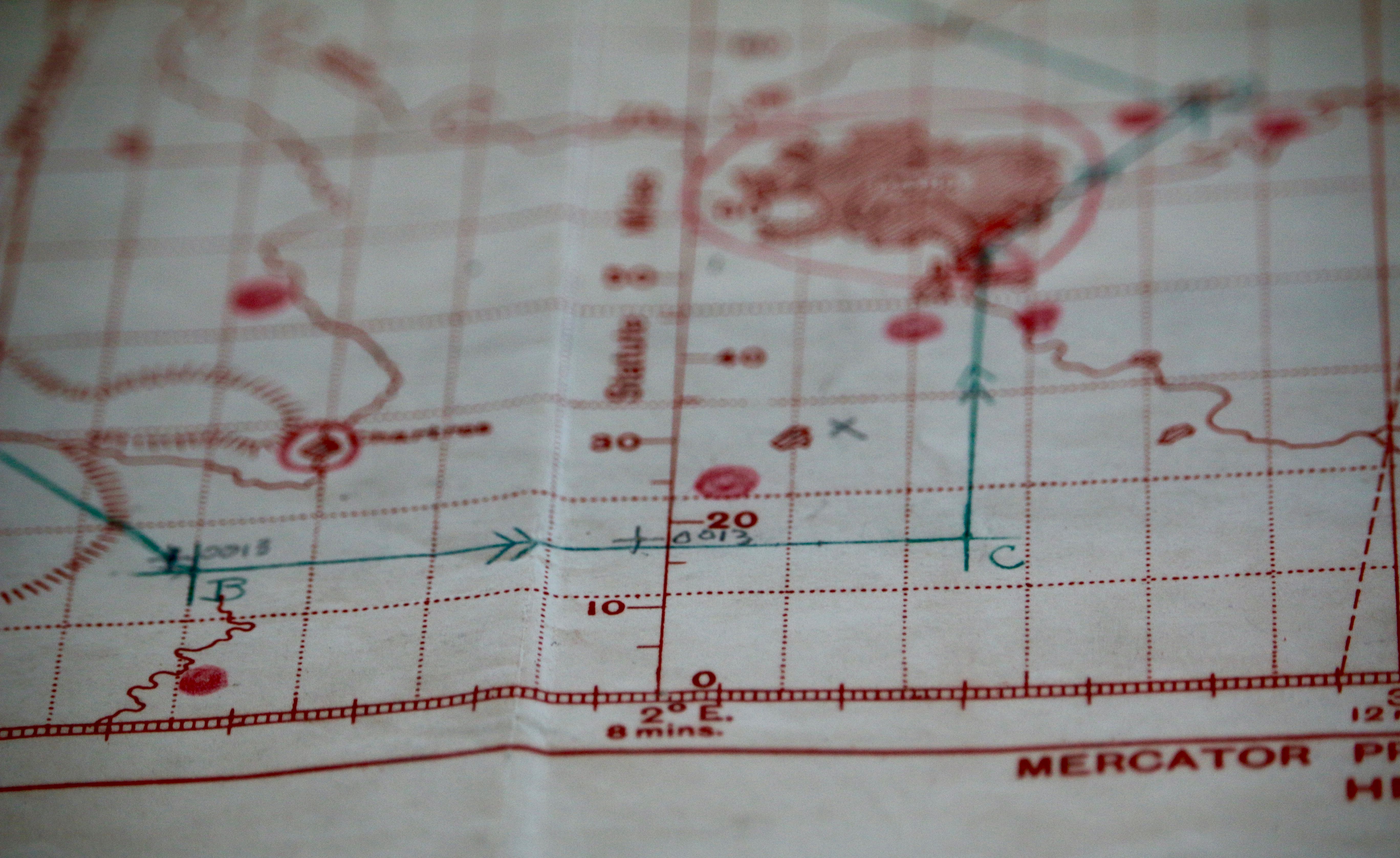
Accurate 3-D surface data underpins mission planning, line-of-sight and viewshed analysis, mobility and route assessment, and simulation — understanding what can be seen, reached and concealed across complex environments.
Questions about our products, a specific area, or how a surface model could help your project? We're happy to talk — leave us a message and we'll get back to you.
Open the DSM in your GIS (QGIS, ArcGIS…) and take a minute to tell us what you see — errors in the product or problems during processing. It's voluntary, and it really helps us improve CALHYPSO.